Log in
All resources
Create a design
33,600 Free Images of 1726 Maps
maps in the library of congress
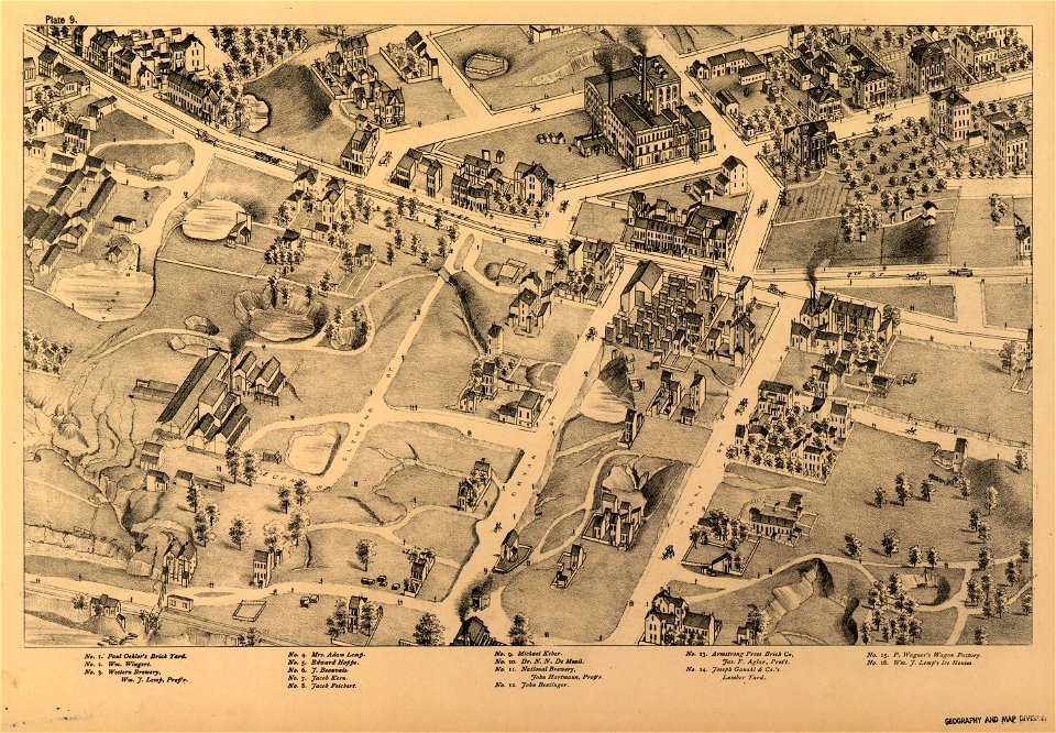
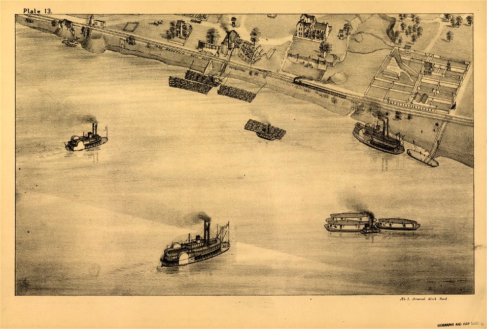
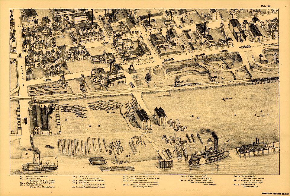
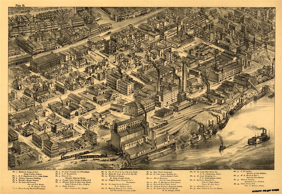
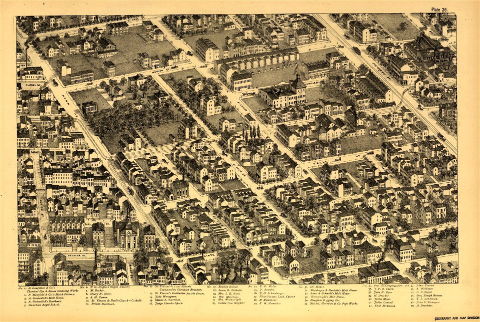
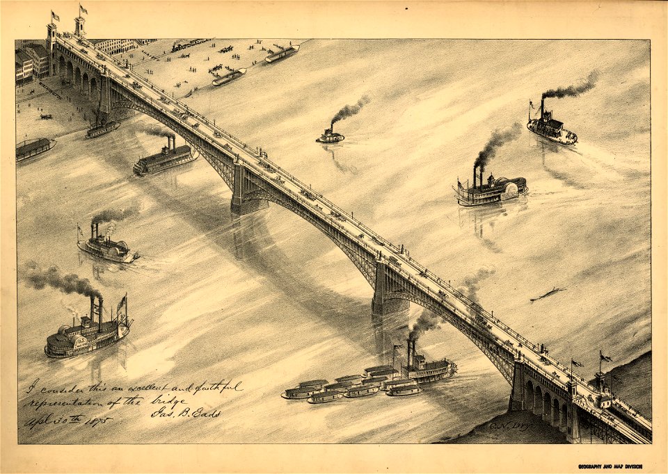
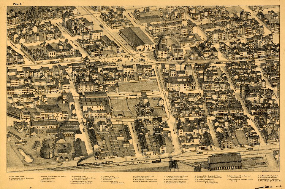
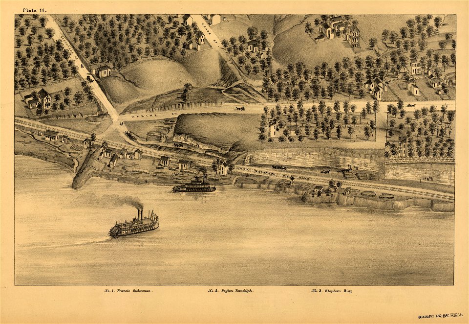
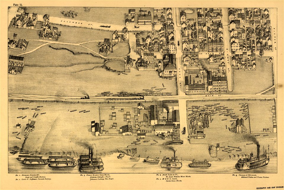
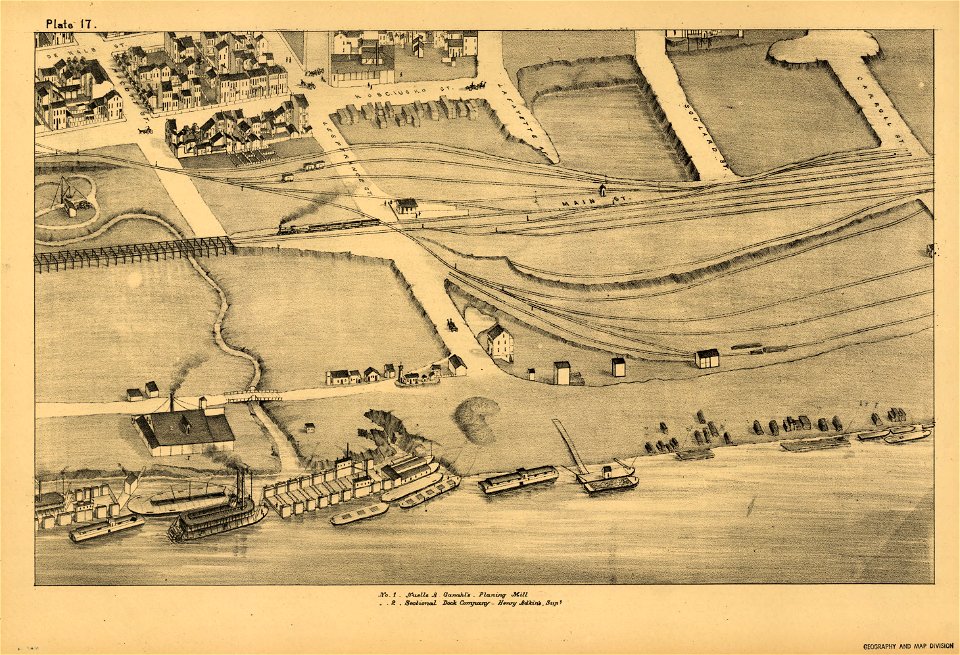
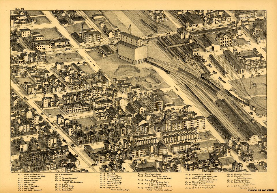
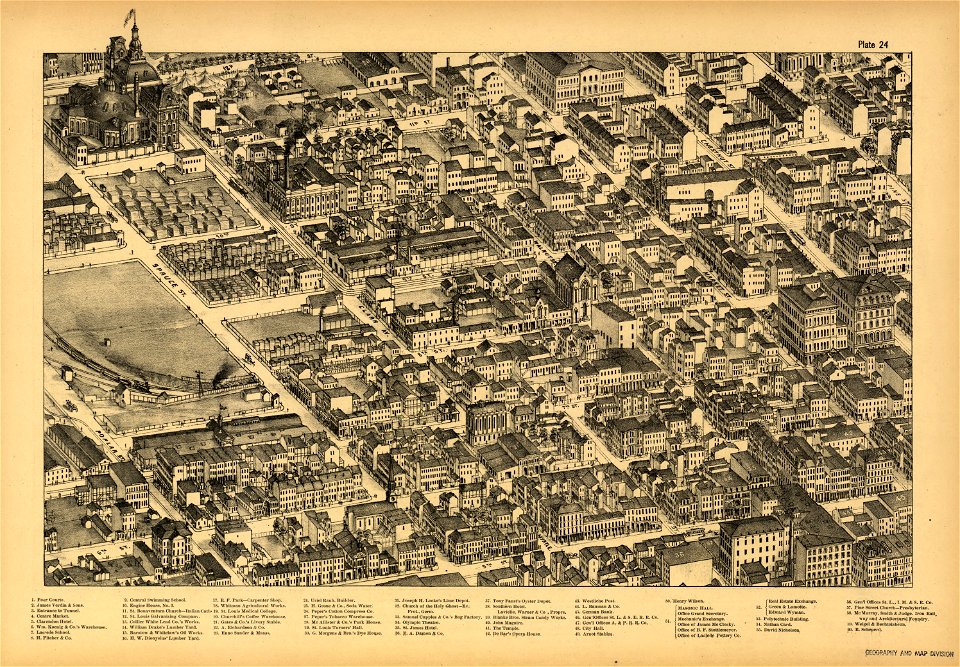
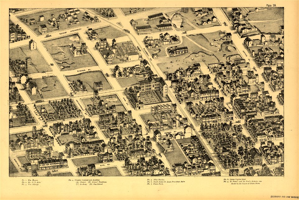
pictorial st. louis
the great metropolis of the mississippi valley; a topographical survey drawn in perspective a.d. 1875
cartography
engraving
chalcography
grabados
fondo antiguo
calcografía
cartografía
maps made in the 17th century
romeyn de hooghe
sphinxes in art
1726 fleurons
cartography
maps
cartography
maps
cartography
maps
ardea cinerea (illustrations)
danubius pannonico-mysicus
alphabet charts
lord's prayer
liverpool
debunking
ekeren
lillo
paris in the 16th century
lithographs of paris
historical images of the pont saint-michel
lithographs of paris
1640s maps of the world
1660s maps of the world
elias gottlob haußmann
baroque
illustrations of jebel barkal
lepsius-projekt - maps
university of toronto wenceslas hollar digital collection
architectural prints by wenzel hollar
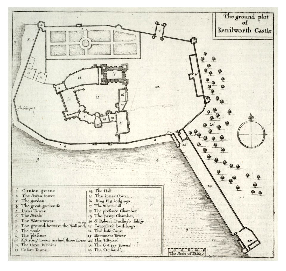
kenilworth castle in art
kenilworth castle
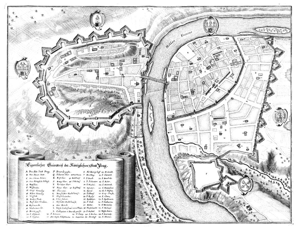
historical images of prague
old maps of prague
the central alps ... being the second part of the alpine guide ... new edition (with maps) by ball
john - president of the alpine club
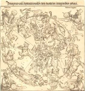
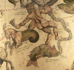
the northern hemisphere of the celestial globe by albrecht dürer
old celestial maps
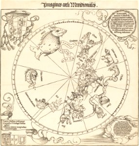
the southern hemisphere of the celestial globe by albrecht dürer
old celestial maps
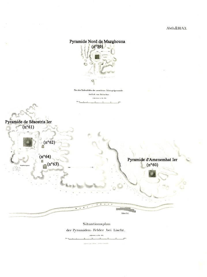
lepsius list of pyramids
pyramid of amenemhat i
prints from dankaerts historis at the peace palace library
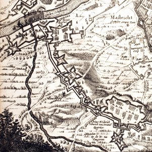
17th-century maps of maastricht
maps made in the 18th century
works by guillaume delisle
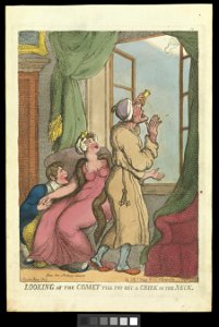
comets in art
printing
prints from manesson travaux de mars at the peace palace library
artillery of the ottoman empire
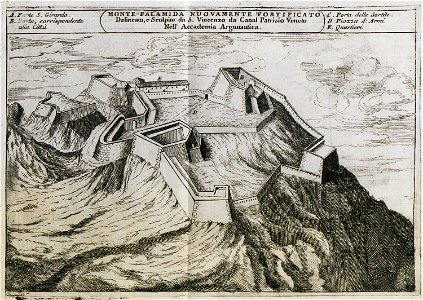
palamidi castle
palamidi
smoking men in art
maps in art
romeyn de hooghe
gerard valck
engravings by matthäus merian
1672 engravings
engravings by matthäus merian
schaffhausen in art
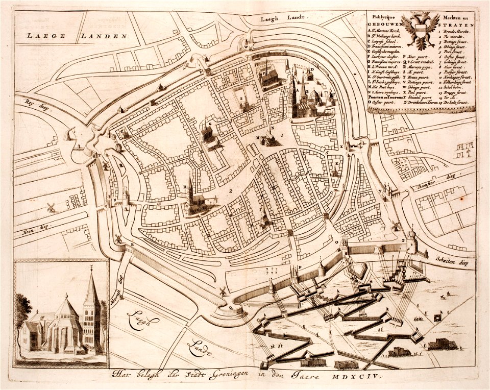
old maps of groningen (city)
siege of groningen (1594)
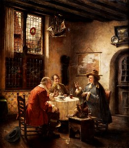
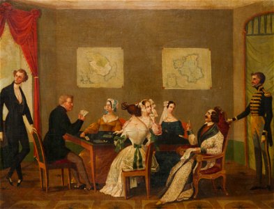
parties in art
maps in art
prints from bonne atlas de toutes les parties at the peace palace library
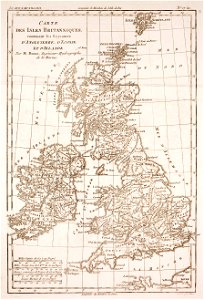
old maps of the british isles
prints from bonne atlas de toutes les parties at the peace palace library
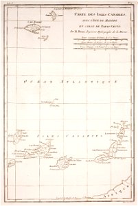
old maps of the canary islands
images from bristol past and present (1882)
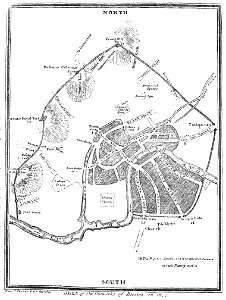
old maps of bristol
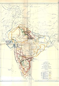
timeline of major famines in india during british rule
history of india
cartography
maps
cartography
maps
cartography
maps
cartography
maps
18th-century portrait paintings in the national portrait gallery, london
workshop of enoch seeman
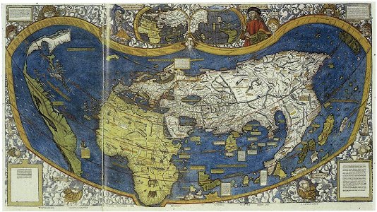
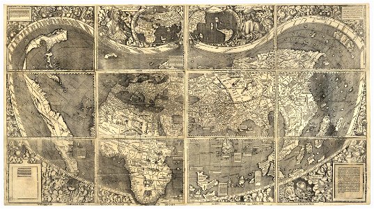
waldseemüller map
old map
old map
old map
old map
old map
waldseemüller map
maps of the west-indische compagnie
1800 maps of the united states
1520s maps of the world
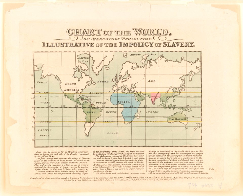
propaganda map
cartography
maps
cartography
maps
cartography
maps
cartography
maps
engravings by matthäus merian
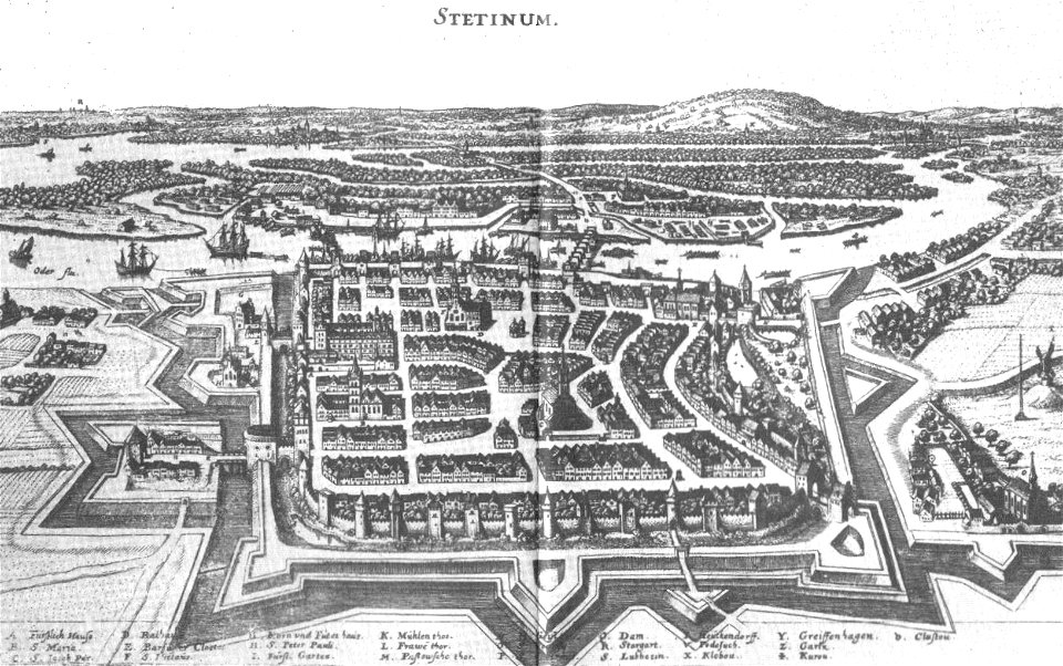
szczecin
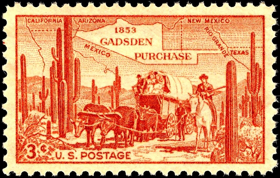
stamps designed by charles r. chickering
brown stamps
prints in the museum boijmans van beuningen
frans hogenberg
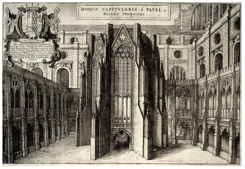
architectural prints by wenzel hollar
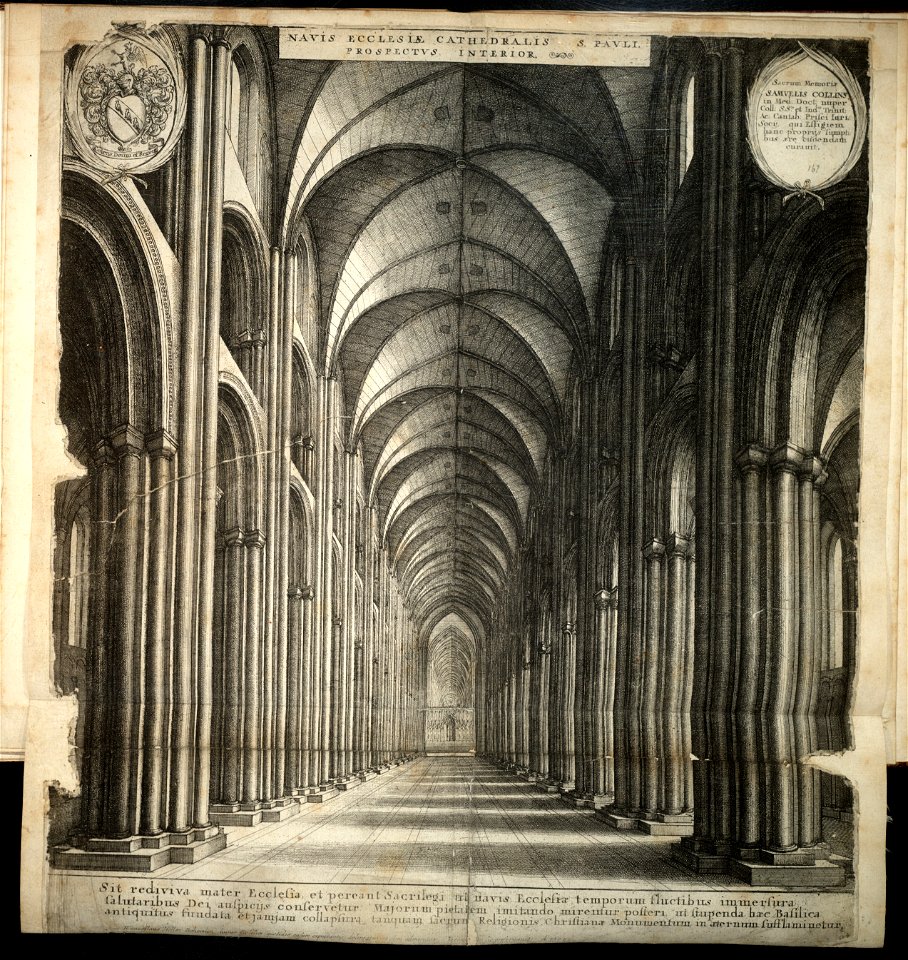
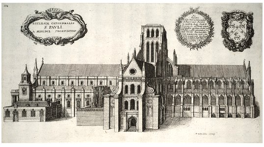
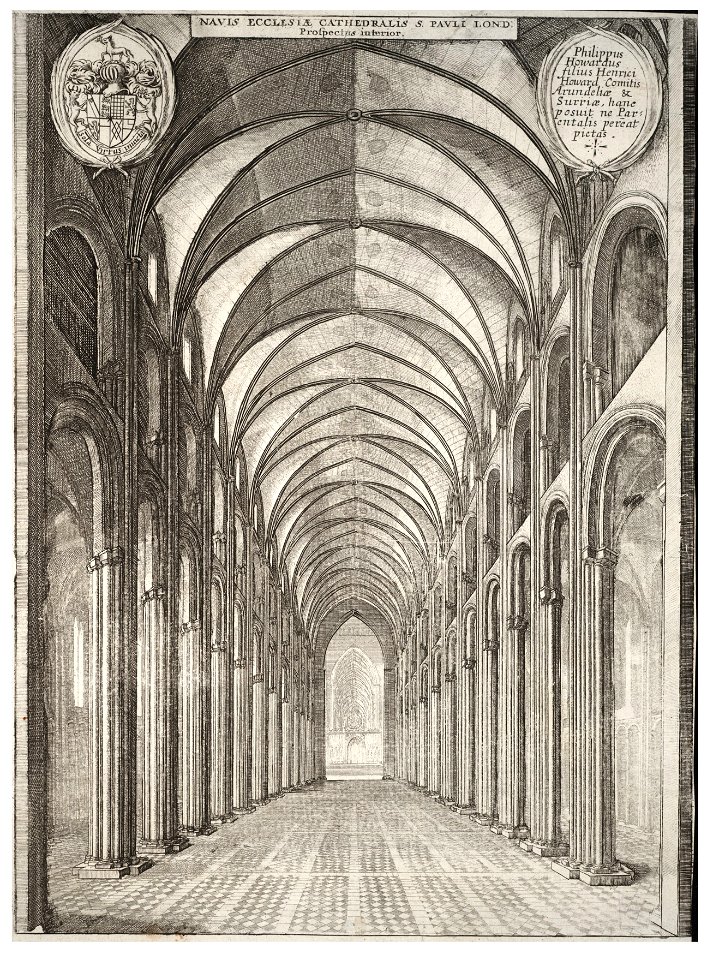
old st paul's cathedral
architectural prints by wenzel hollar
old st paul's cathedral
architectural prints by wenzel hollar
old st paul's cathedral
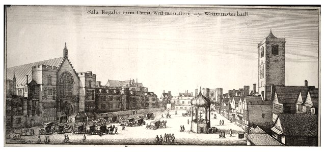
architectural prints by wenzel hollar
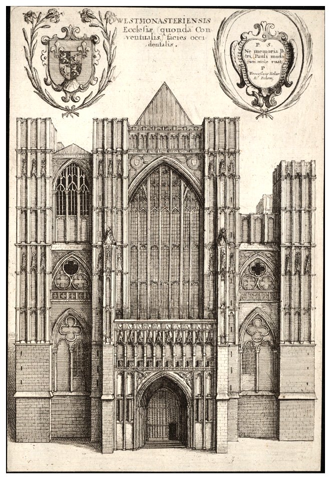
westminster abbey in art
architectural prints by wenzel hollar
old st paul's cathedral
christian von mechel
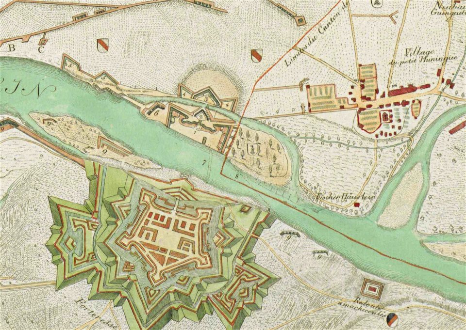
huningue fortress
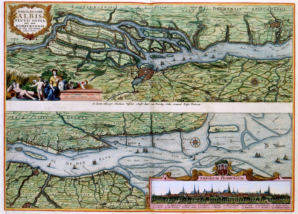
nobilissimi albis fluvii ostia
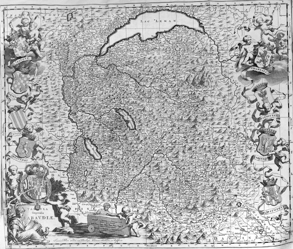
maps with cartouches
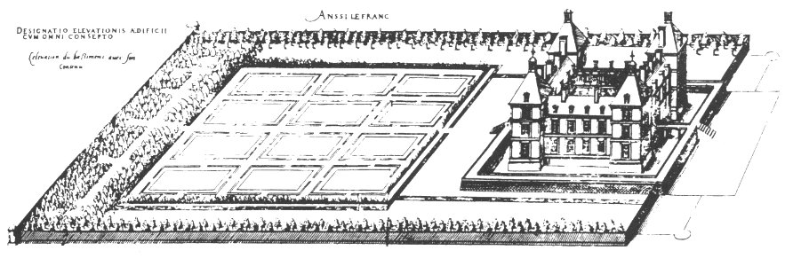
maps of baroque gardens
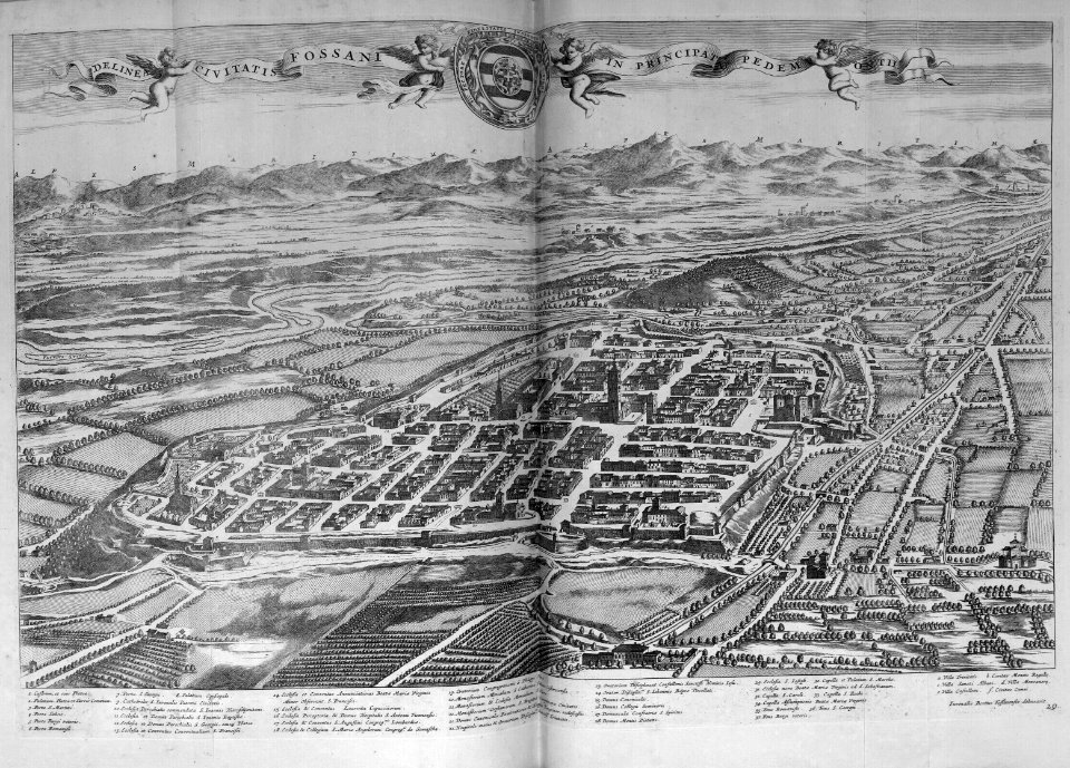
bird's eye view
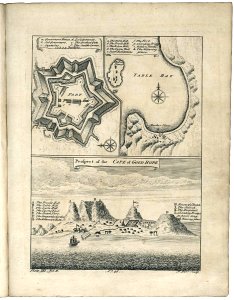
old maps of cape town
1745
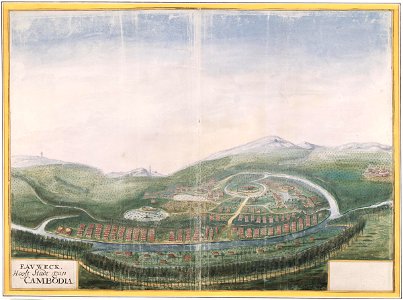
history of cambodia
1665
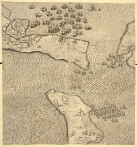
historical images of île de ré
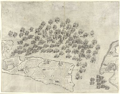
siege of la rochelle
historical images of île de ré
siege of la rochelle
historical images of île de ré
siege of la rochelle
ganymede in renaissance art
maps by gerardus mercator
17th-century maps of maastricht
geography of maastricht
women's bicycle
bicycle tour
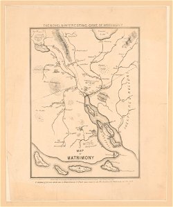
cornell: persuasive cartography: the pj mode collection
cornell university library
fortifications in france
fort de limaie
history of french polynesia
islands in art
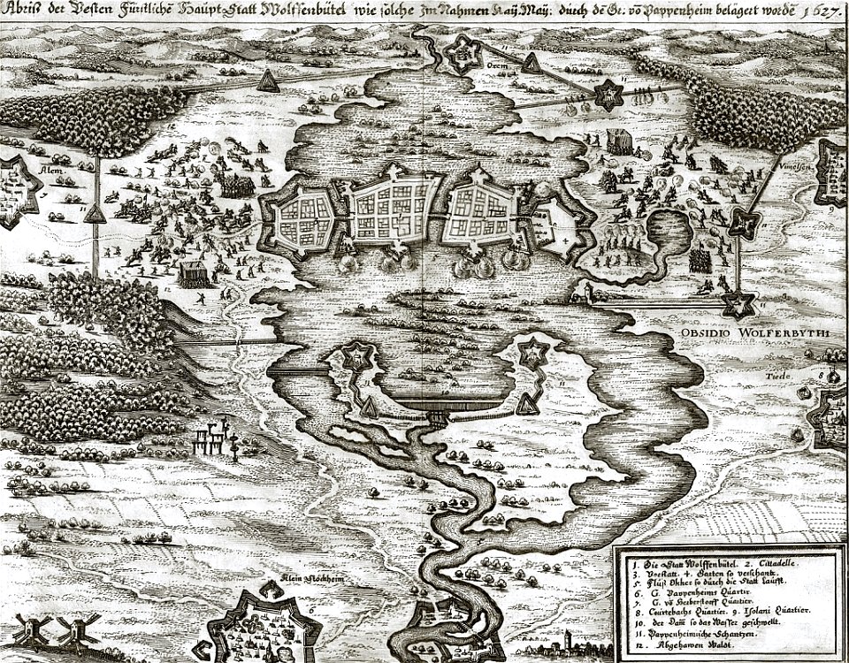
gottfried heinrich graf zu pappenheim
battles of the thirty years' war
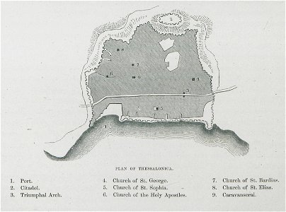
old maps of thessaloniki
day & son
harvard university
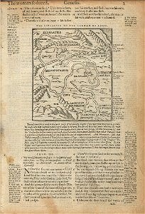
book of genesis
book collection of the chester beatty library
l'isole più famose del mondo
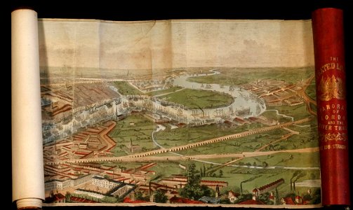
the illustrated london news 1845
river thames in london in art
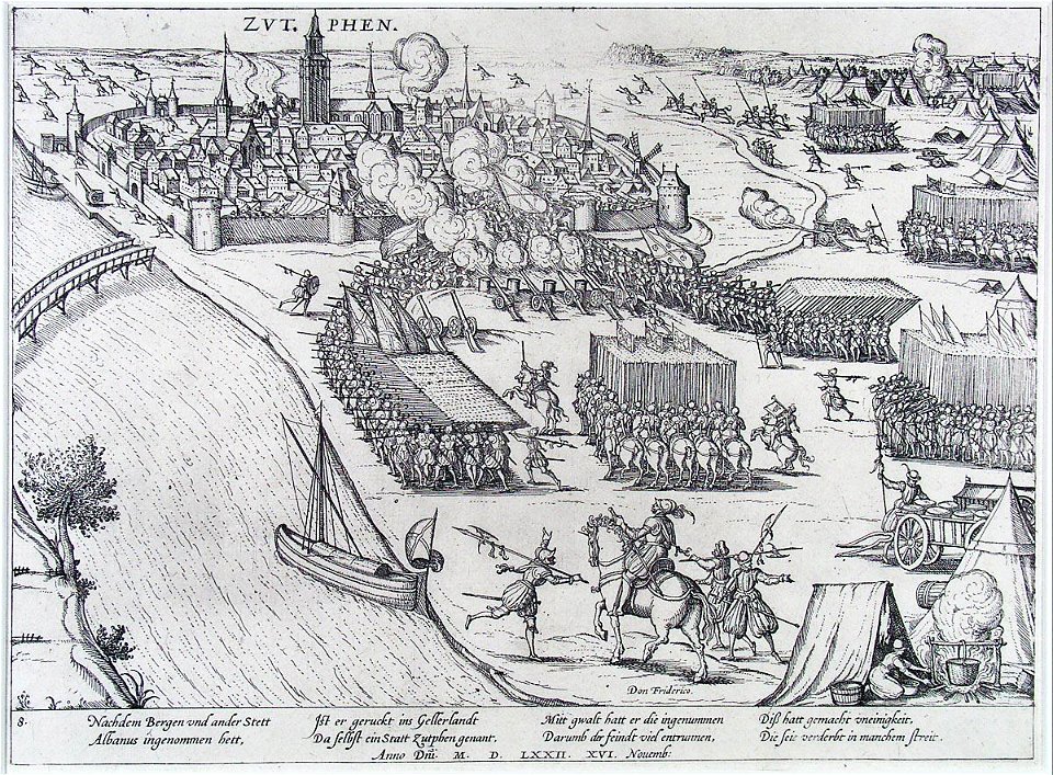
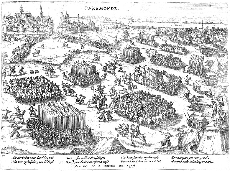
battles of the eighty years' war
frans hogenberg
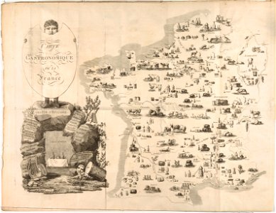
french cuisine
gastronomy
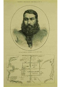
kandahar in the 19th century
thomas dewell scott
claes jansz. visscher (ii)
waal
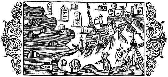
historia de gentibus septentrionalibus
värmdö,
maps in the library of congress
pictorial st. louis
maps in the library of congress
pictorial st. louis
maps in the library of congress
pictorial st. louis
maps in the library of congress
pictorial st. louis
maps in the library of congress
pictorial st. louis
maps in the library of congress
pictorial st. louis
maps in the library of congress
pictorial st. louis
maps in the library of congress
pictorial st. louis
maps in the library of congress
pictorial st. louis
maps in the library of congress
pictorial st. louis
maps in the library of congress
pictorial st. louis
maps in the library of congress
pictorial st. louis
maps in the library of congress
pictorial st. louis
maps in the library of congress
pictorial st. louis
9801 - 9900 of 33,600
Next page
/ 336